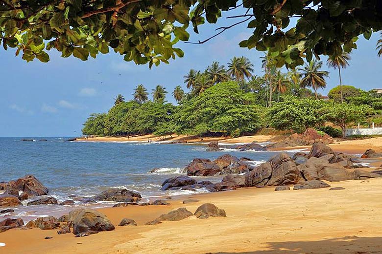
- Check out top deals on tours to Panama
- Explore places to visit & most popular itineraries
- Filter deals by experience, duration, level & price
Panama weather by month
Check out Panama weather averages by month. Compare detailed monthly climate statistics including temperature, rainfall and sunshine figures.
| Jan | Feb | Mar | Apr | May | Jun | Jul | Aug | Sep | Oct | Nov | Dec | |
|---|---|---|---|---|---|---|---|---|---|---|---|---|
| Maximum daytime temperature °C |  30 30 |
 31 31 |
 31 31 |
 32 32 |
 31 31 |
 29 29 |
 30 30 |
 29 29 |
 29 29 |
 29 29 |
 28 28 |
 29 29 |
| Hours of sunshine (daily) | ||||||||||||
| Days with some rainfall |  8 8 |
 6 6 |
 5 5 |
 8 8 |
 18 18 |
 19 19 |
 21 21 |
 22 22 |
 17 17 |
 22 22 |
 24 24 |
 15 15 |
| Sea temperature °C |  27 27 |
 26 26 |
 25 25 |
 26 26 |
 28 28 |
 29 29 |
 28 28 |
 28 28 |
 28 28 |
 28 28 |
 28 28 |
 28 28 |
More about Panama
Panama by month
Jan Feb Mar Apr May Jun Jul Aug Sep Oct Nov Dec
Recommended for Panama
The climate guide for Panama (Panama City) shows long term monthly weather averages processed from data supplied by CRU (University of East Anglia), the Met Office & the Netherlands Meteorological Institute. Find out more about our data sources.
Top Panama destinations
Below are average maximum temperatures at popular countries, regions and places in Panama for next month - May. Select a destination to see the climate guide for all months of the year.
All Panama destinations
- Boca Chica
- Bocas del Toro
- Boquete
- Changuinola
- Coiba Island
- Contadora
- El Porvenir
- Panama City
- Pedasi
- Pinas Bay
- Puerto Obaldia
- Santa Catalina
Metric (°C / mm) | Imperial (°F / inches)
Panama climate overview
Lying at the southern end of Central America, Panama connects the Caribbean with the Pacific via the Panama Canal, an incongruous man-made channel cut through virgin jungle. The Canal itself is central to the Panama's economy and more than half of the country's population lives within 20 kilometres (12 miles) of it.
High mountains run down the central spine of western Panama, with dormant volcanoes as well as spectacular mountain scenery and waterfalls. Fragmented smaller mountain chains can also be found in the east where high ground is covered by extensive woodland and untouched rainforest. In the foothills there are cultivated regions with banana and coffee plantations.
From the coast, lowland plains rise to rolling hills further inland that support savannah and grazing grasslands. A vast swathe of lowland plain can be found between the Azuero peninsula and the Central Mountains. This is the main agricultural area sustaining rice, maize and bean fields.
Panama has a tropical and wet climate. The driest regions are south of the mountains and along the Pacific coast, and this is where most of the population lives. The rainy season lasts from April to December and is followed by a drier period from January to March. Temperatures are warm or hot throughout the year and high humidity can lead to sultry conditions.
The Caribbean coast is equally hot and humid, but significantly wetter. It rains most of the year with maybe just a brief drier spell in February and March.
The mountains escape the humidity and high temperatures, but not the unrelenting rain, which only briefly breaks between February and March.
Compare Panama with the UK
Below the Panama chart shows average maximum daytime temperature for Panama (Panama City) and the UK (London).
Maximum daytime temperature (°C)
Metric (°C / mm) | Imperial (°F / inches)
Compare more Panama weather >>
Be inspired
Get your weekly fix of holiday inspiration from some of the world's best travel writers plus save on your next trip with the latest exclusive offers
We promise not to share your details
Related posts
Popular travel offers
Explore holidays in the sun for less
- Beach holidays
- Family holidays
- City breaks
- Summer holidays
- Winter sun holidays
- Holiday offers
- Top travel brands
- Airlines & flights
- Discount hotels
- Airport parking deals
- TUI
- Jet2holidays
- easyJet holidays
- Love Holidays
- January sales
Airport parking
- Manchester Airport
- Stansted Airport
- Bristol Airport
- Luton Airport
- Birmingham Airport
- Edinburgh Airport
- Gatwick Airport
- Glasgow Airport
- Newcastle Airport
Airport lounges
- Manchester Airport
- Birmingham Airport
- Bristol Airport
- Edinburgh Airport
- Glasgow Airport
- Heathrow Airport
- Newcastle Airport
- Stansted Airport
- Gatwick Airport


 Tour deal finder


